Bonaire
Bonaire, together with Aruba and Curaçao, forms the group known as the "ABC" Islands, less than a hundred miles off the north coast of South America near the western part of Venezuela. Unlike much of the Caribbean region, the ABCs lie outside the hurricane belt. In 2010, Bonaire became a municipality within the country of the Netherlands and Kralendijk is the capital. Thirteen of us booked a tour with Bonaire Vista Tours. Edwin was our excellent guide, showing us the highlights of Bonaire while sharing its history, culture and customs. Leaving the dock area we drove south to view the salt pans.

|

One of three remaining obelisks.
|

|
Bonaire has long been recognized as an ideal locale for the production of salt, which began in 1636. By 1837 Bonaire's salt production had grown so large that four obelisks were built to guide ships coming in to load their salt cargo. Three of the four obelisks can still be seen today. Salt is still produced on Bonaire and we bought some to bring home.

|
The slave huts were used during the 1800s as small shelters for the slaves who toiled in the salt pans. They stand as a testimony to a painful time in Bonaire's history and have been preserved as a reminder of that period.
|

|

|

We were visited by a baby flamingo who strolled by. The slave huts were built entirely of stone. Edwin shows us the kind of stone used in their construction.
|

|
Heading north we stopped for a view of Gotomeer Lake but Theo and Thomas liked the views of the iguanas better.

|

|

|

|

|

|

|

|

Next we visited Cadushy Distillery where we could "drink" a cactus! The distillery is known for the world's only liqueur made from cactus. There was a garden, a playground for the kids, and a few places for photo ops.
|

|

|

|

|

|
The flamingo, protected on Bonaire, is the island’s signature bird. Flamingos get their enchanting color by eating small crustaceans with a lot of carotene pigment in their bodies, such as shrimp. Bonaire is also home to a Donkey Sanctuary but this little guy was on his own.
|

|

Our last stop was Seru Largu, or “Large Hill". At the summit of the mountain, at 404 feet, we had a spectacular view of the island’s southwestern shoreline.
|

|

There is a monument at the site which reads in the Papiamentu language as "Kristu Ayera Awe Semper" and means "Christ, Yesterday, Today and Forever".
|
|
Before dropping us off near the dock, Edwin gave us an orientation of downtown Kralendijk.

|
|
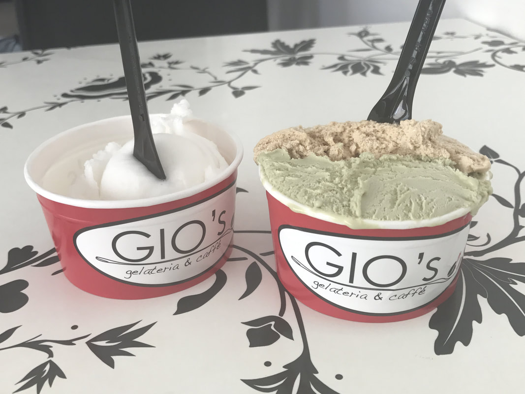
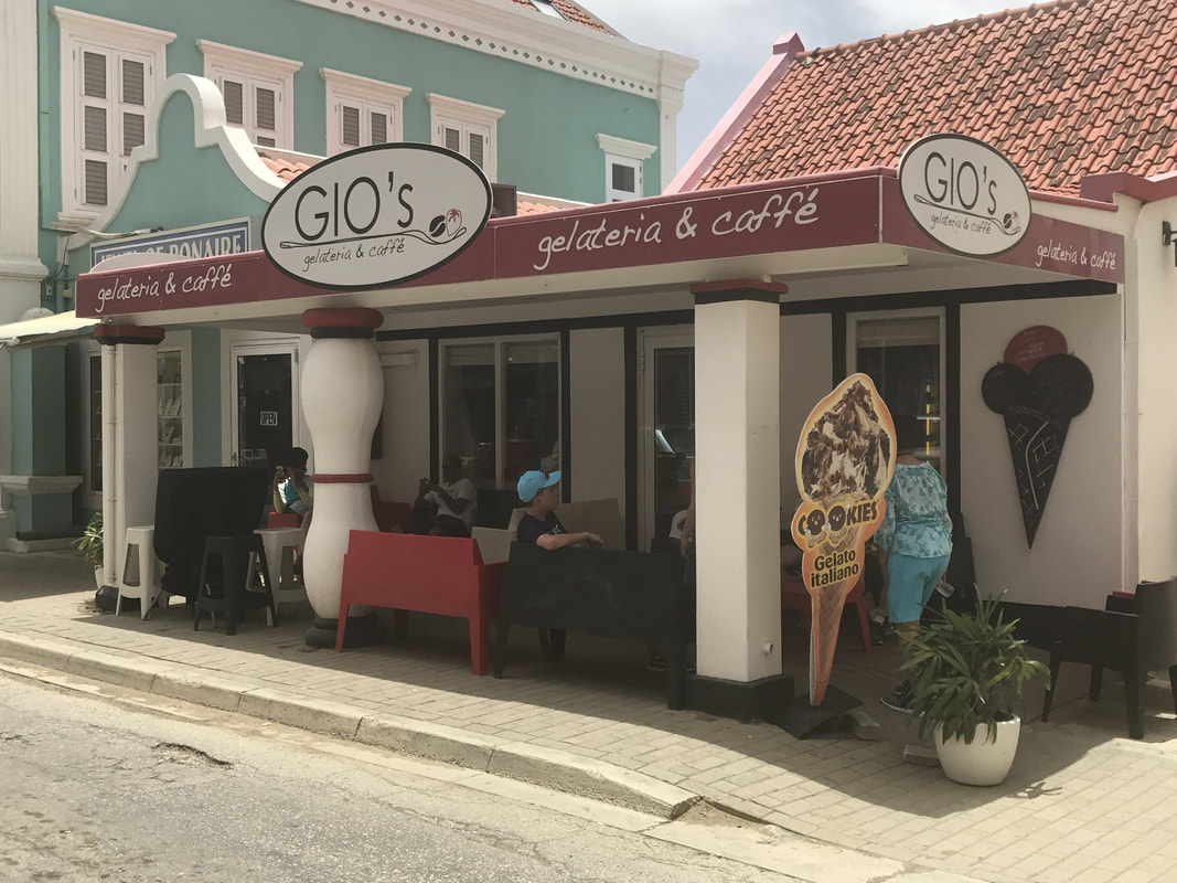
Edwin pointed out Gio's, telling us that they had the best gelato on the island, so we just had to head there first!

View from inside Bonaire's church.
We browsed the stalls of the Arts and Crafts Market in Wilhelmina Plaza.
|
Our group split up, some of us heading back to the ship and some to wander the shops or have lunch in Kralendijk.

|

Flamingo mosaic in the sidewalk.
The island's national bird is on signs, shops and restaurants all over town.
|

Fish and chips, Bonaire style.
|

|

Iguana soup, an island specialty.
|
We had lunch at Karel's Beach Bar, with a view of the harbor and our ship, a lovely way to end our first day in port.
